A municipality’s master plan is intended to set the vision and start the process of crafting the future of the municipality in regard to several elements, housing, history, culture, open space, transportation, finance, etc. Arlington began a very public discussion about these issues and the development of the Master Plan in 2012. In 2015, after thorough community wide discussion, the Master Plan was adopted by Town Meeting. This year, 2019, the focus is on passing Articles that will amend the current zoning bylaws in order to implement the housing vision that was approved in 2015.
Related articles
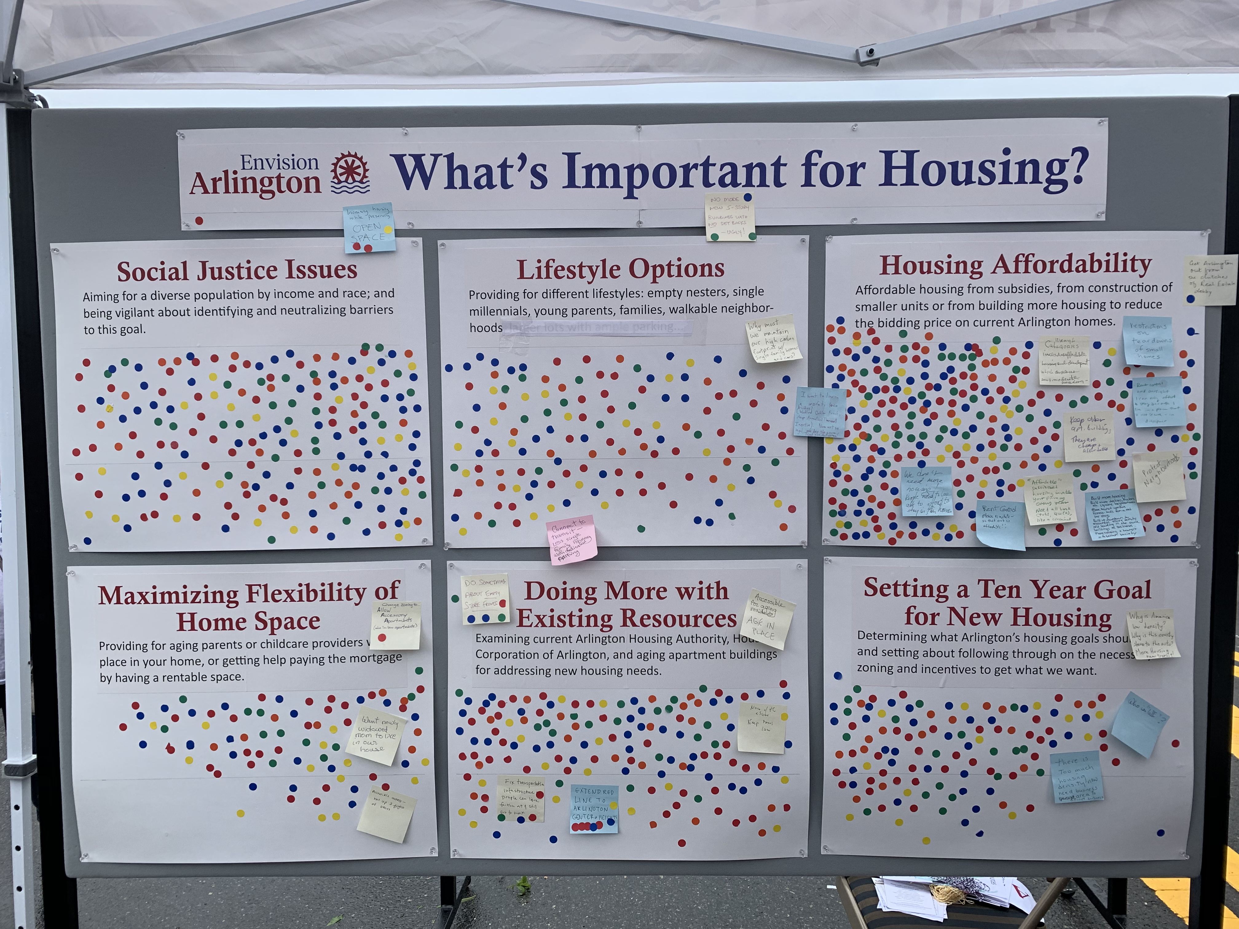
A portion of Envision Arlington’s town day booth was designed to spark a community conversation about housing. Envision set up a display with six poster boards, each representing a housing-related topic. Participants were given three dots and asked to place them on the topics they felt were most important. There were also pens and post-it notes on hand to capture additional comments. This post is a summary of the results. You could think of it as a straw-poll or temperature check on the opinions of town day attendees.
Social Justice Issues
Aiming for a diverse population by income and race; and being vigilant about identifying and neutralizing barriers to this goal.
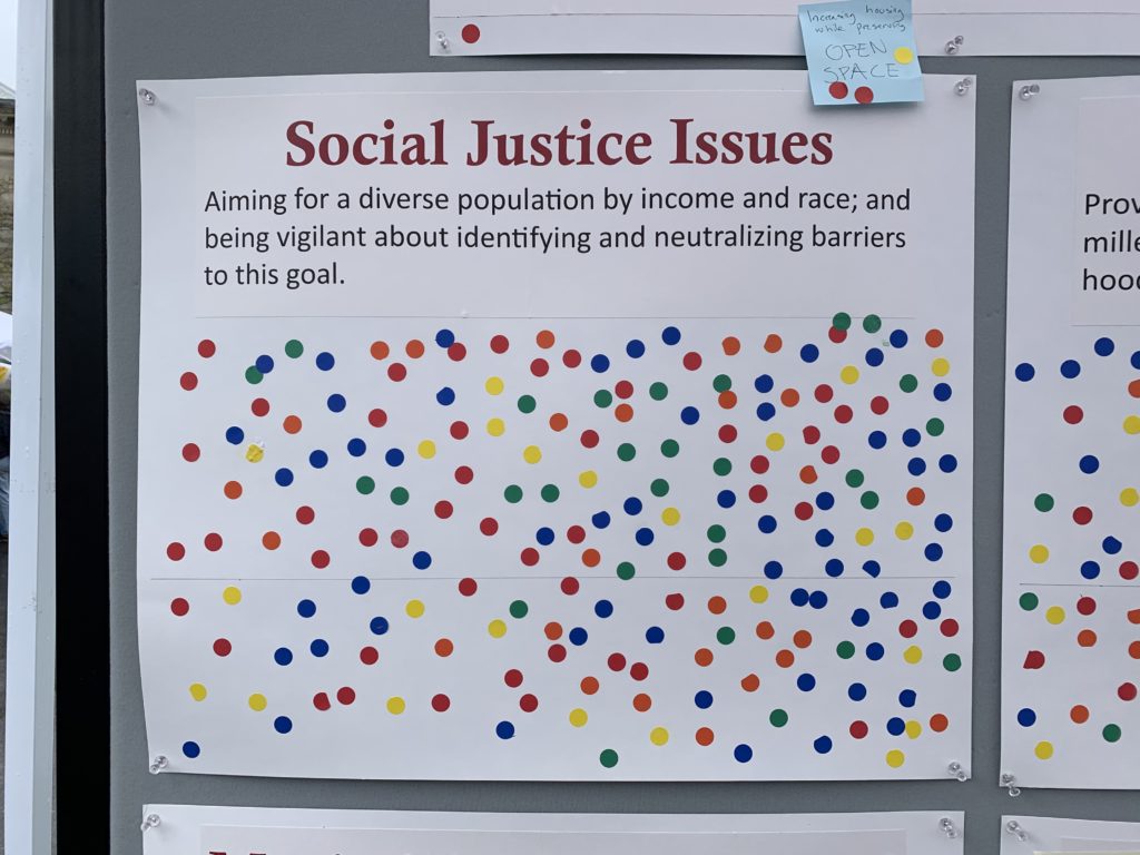
197 dots, plus a post-it note that reads “Increasing housing while preserving open space” (with three dots).
Lifestyle Options
Providing for different lifestyles: empty nesters, single millenials, young parents, families, walkable neighborhoods.
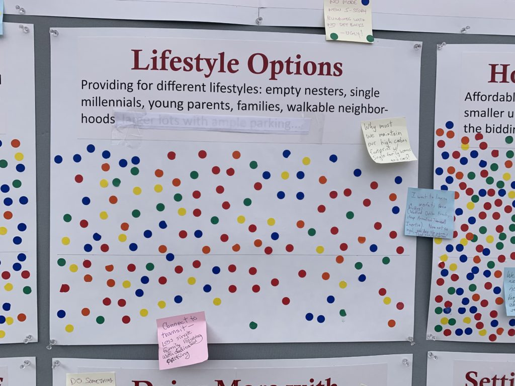
149 dots and four post-it notes:
- No more new 5-story buildings with no setbacks. Ugly. (3 dots)
- Why must we maintain our high carbon footprint with single family homes and cars?
- I want to live in a wofati (eco building) (Woodland Oehler Freak-Cheap Annualized Thermal Intertia). Not so legal, one day the norm. Thank you Arlington.
- Connect to transit. Less single family housing with dedicated parking.
Housing Affordability
Affordable housing from subsidies, from construction of smaller units, or from building more housing to reduce the bidding price on current Arlington homes.
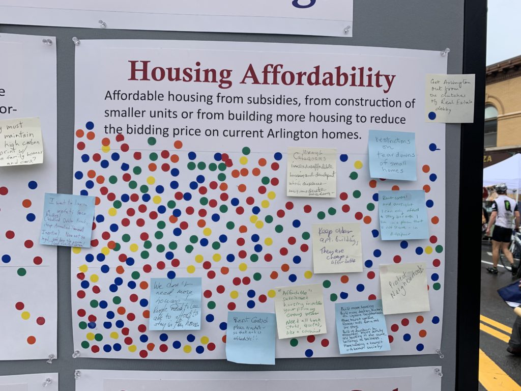
308 dots, with 10 post-it notes
- We don’t need more housing. People need to be able to afford to stay in their homes.
- Get Arlington out from the clutches of real estate lobby. (1 dot)
- Wrong categories. Includes affordable housing and development which displaces low and moderate income housing
- Restrictions on teardowns of small homes
- Keep older apartment buildings. They are cheap and affordable.
- Rent control and oversight. “I can only afford to stay because I live in a place that is not secure and in disrepair.”
- Rent control. Please reinstate so that rent is affordable.
- “Affordable” subsidized housing invades your privacy. Every year need all bank stubs, 401(k), like a criminal.
- Build more housing. Build more duplexes, triplexes, etc. Upzone neighborhoods. More transit corridors. Renew calls for a red line stop. Build up the downtown to encourage more density and housing in the same buildings as businesses. More housing + transit = a better society.
- Protect neighborhoods
This was clearly the topic that drew the most response. Arlington housing is expensive.
Maximizing Flexibility of Home Space
Providing for aging parents or childcare providers with a place in your home or getting help paying the mortgage by having a rentable space.
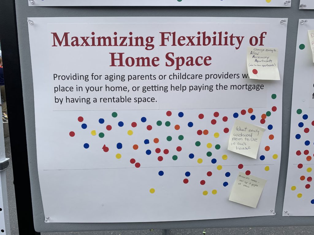
81 dots, and three post-it notes:
- Change zoning to allow accessory dwelling apartments (aka ADUs, granny flats, in-law apartments) (1 dot)
- Want nearby widowed mom to live in own house.
- Accessible rentals, not up 3 flights of stairs.
Doing more with Existing Resources
Examining current Arlington Housing Authority, Housing Corporation of Arlington, and aging apartment buildings for addressing new housing needs.
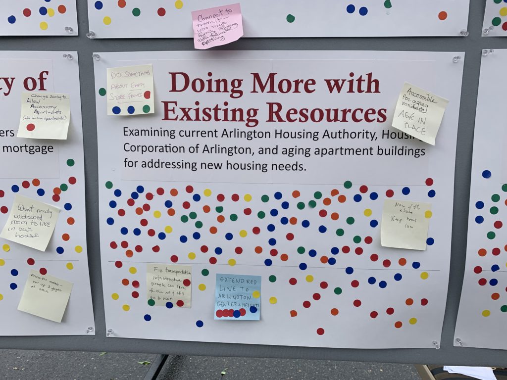
143 dots, and five post-it notes:
- Fix transportation infrastructure. Peope can live farther out and still get to work. (4 dots)
- Extend red line to Arlington center and heights. (7 dots)
- None of the above. Keep taxes low. (1 dot)
- Accessible for aging residents. Age in place.
- Do something about empty store fronts.
Setting a ten-year goal for new housing
Determining what Arlington’s housing goals should be, and setting about following through on the necessary zoning and incentives to get what we want.
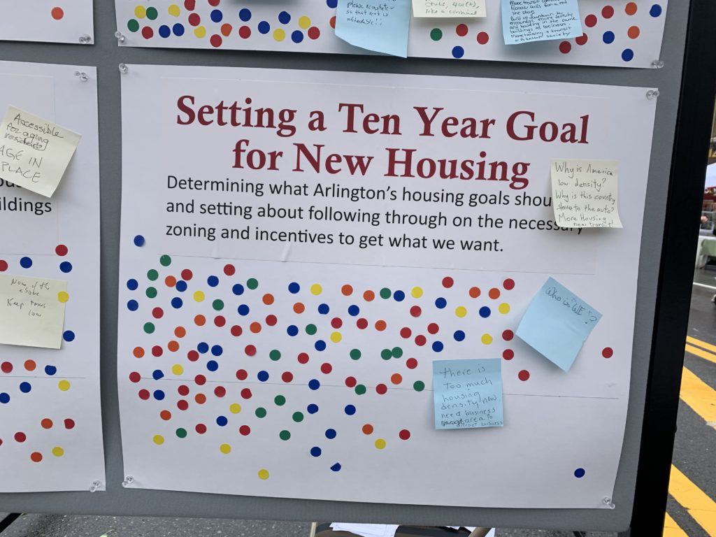
119 dots, and three sticky notes:
- Why is America low-density? Why is this country slave to the auto? More housing near transit!
- Who is “we”?
- There is too much housing density now. Need business area to attract business.
Observations
As noted earlier, the cost of housing seemed to be the main issue of concern. This is understandable: housing prices in Arlington (and the region in general) have been on an escalator ride up since about 2000 or so. That’s led to our current high cost of housing, and also to a form of gradual gentrification. When housing is more expensive than it was last year, a new resident in town has to make more money (or be willing to spend more on housing) than last year’s new resident.
I see at least two broad responses to this: one is to keep the status quo, perhaps returning to the inexpensive housing of decades past. The other is for more multi-family housing, and more transit-oriented development. It will be interesting to see how these dynamics play out in the future.
There’s also recognition of the importance of older “naturally affordable” apartment buildings. Arlington was very pro-growth in the 1950s and 1960s; that’s fortunate, because it allowed these apartments to be built in the first place. On the downside, we haven’t done a good job of allowing new construction into the pipeline during recent decades. Buildings depreciate, so a new building is worth more than one that’s ten years old, which is worth more than one that’s twenty years old, and so on. At some point, the old apartments are likely to be refurbished/upgraded, and they’ll become more expensive as a result.
This is only the beginning of the conversation, but at least we’re getting it going.
(DRAFT – 7/11/2019)
Overview
Arlington Planning Department officials report on options for the Town to mitigate the effects of housing demolitions and housing replacements in neighborhoods.
Evidence suggests that lack of appropriate regulatory policies have led to incidences of “mcmansions” and other issues that concern neighborhood residents. This study looks at the data, the policy and regulatory options for Arlington. It also looks at how comparable nearby communities have managed similar circumstances.
This 42 page report covers a great deal of data and analysis of homes by zoning district, gaps in the effectiveness of the current regulatory structure, affects on affordability in Arlington by zoning district, information on housing prices and sales, etc.
“Best practices” include descriptions of demolition delay, expansion of local historic districts, neighborhood conservation districts, design review standards and guidelines and possible revisions to the regulatory framework in Arlington. The report also includes interesting case examples of how comparable communities near Arlington handle these issues.
This report was presented to the Arlington Select Board on July 22.
Read the complete report and see the available data and tables.
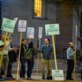
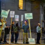
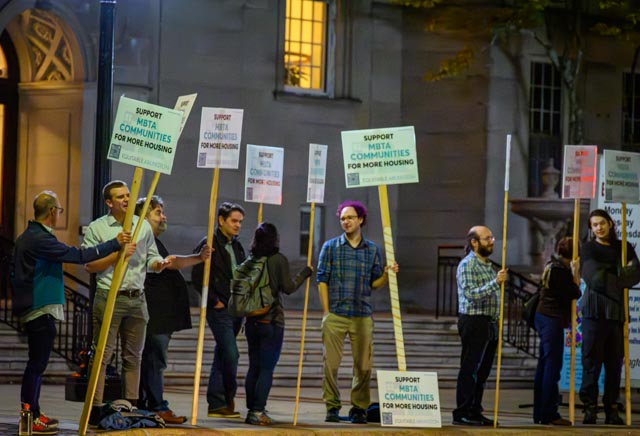
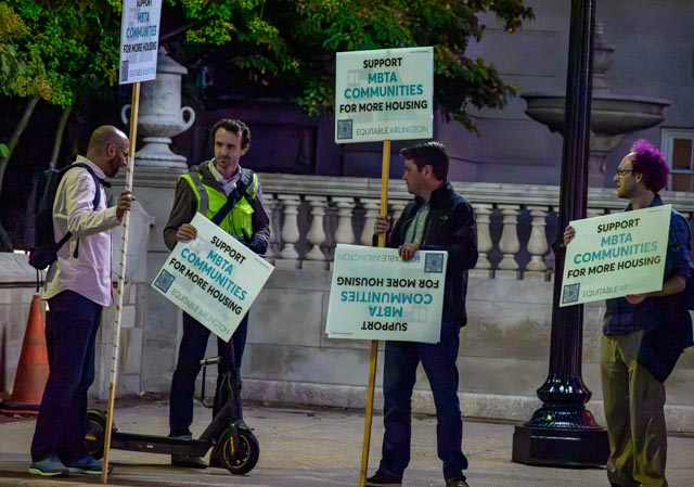
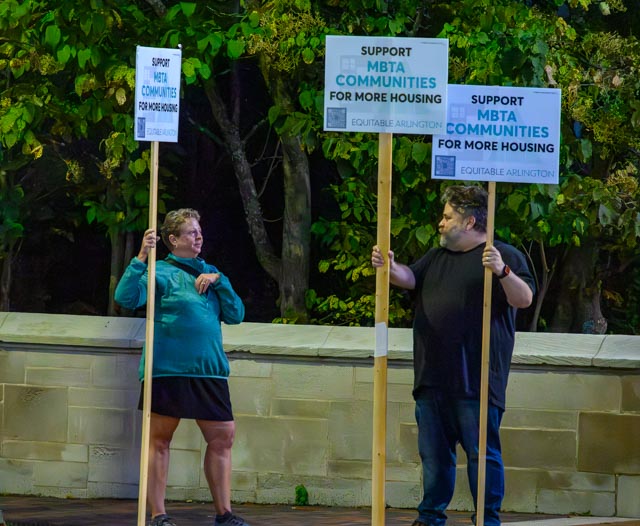
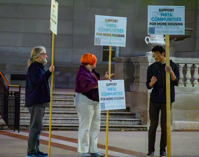
Thanks to so many of you who came out Monday evening for the demonstration in support of the MBTA Communities proposal before the Arlington Redevelopment Board meeting! Over 20 people were there – a substantial and notable showing, especially on such short notice. Paulette Schwarz took some photos of the demonstration early in the evening which she kindly shared with us.